
To access the Ordnance Survey route maps please click on each image for each day.
DAY 1 – Wincobank to Whiston | 7.44-miles
The first section of the route travels from the historic Upper Wincobank Chapel sited on the ancient Wincobank Hill travelling through the industrial suburbs of Sheffield along parts of the Sheffield Country Walk. This part of the route runs beside suburban stretches of the River Rother before crossing the M1 motorway to Whiston.
DAY 2 – Whiston to Roche Abbey | 8.18-miles
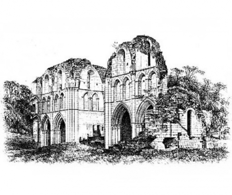
Emerging from the industrial surroundings of Sheffield and Rotherham, you will explore Sandy Flat Lane, Orchard Lane, Back Lane and Carr Lane, which travel through the fields of South Yorkshire, crossing the M18 motorway, before reaching the stunning remains of Roche Abbey located in a quiet woodland valley.
DAY 3 – Roche Abbey to Austerfield | 10.87miles
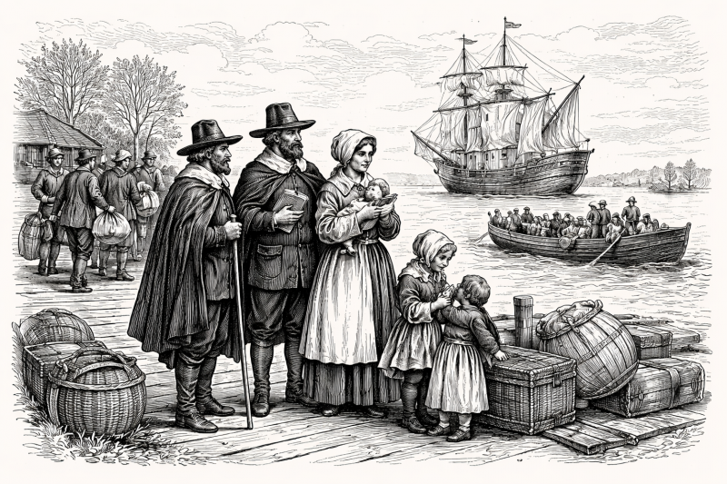
The route for day 3 travels through the mining country of Haworth, Bircoates and Bawtry, then reveals the origins of the Pilgrim Fathers, many of whom began their lives here, which shaped their beliefs. As devout Christians, they became Separatists and, in their struggle for religious freedom, in 1620, they sailed aboard The Mayflower bound for America.
DAY 4 – Austerfield to Epworth | 13.18-miles
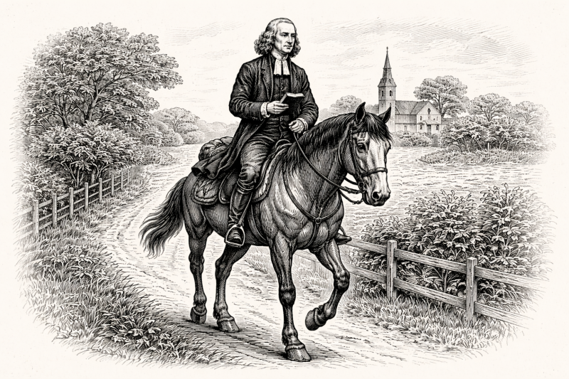
Day 4 takes us to Epworth, North Lincolnshire, home of the Wesley family in the 18th century. John Wesley spent much of his life travelling through the small villages that you will encounter, to preach his version of Methodism. Our route leads from Austerfield, where the Separatist movement began in the 1600s, along the many waterways that scatter these landscapes, through Misson and Haxey, skirting Westwoodside.
DAY 5 – Epworth to Scunthorpe | 11.06-miles
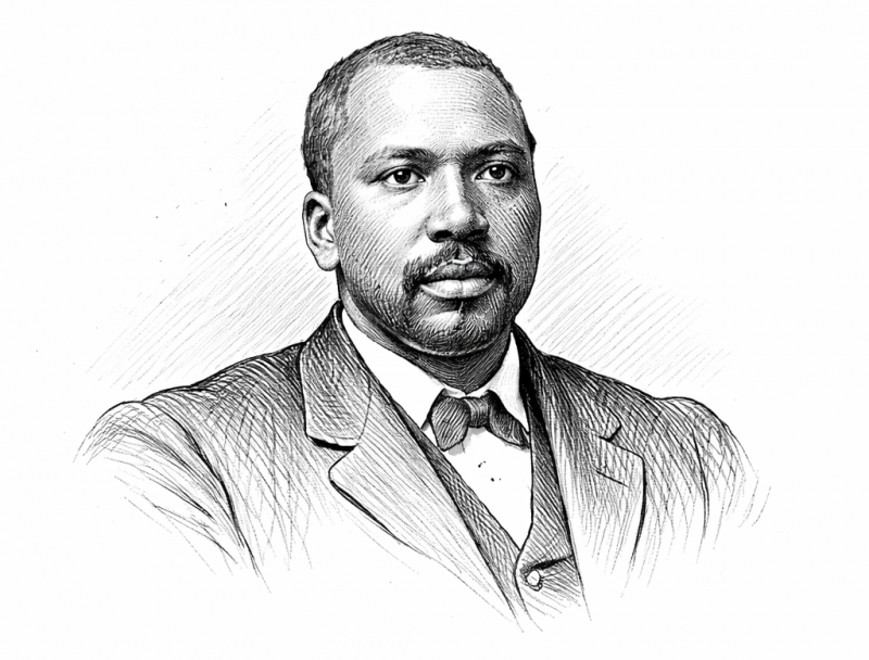 Our route on Day 5 leaves Epworth and travels through villages made famous by the work of John Wesley, such as Belton and Beltoft, before crossing the River Trent and entering Scunthorpe. With its rich steel working history, Scunthorpe was also home, in 1911, to Salim C Wilson, a freed slave who became an evangelist preaching on faith and his own story.
DAY 6 (a) – Scunthorpe to South Ferriby | 12.52-miles
At Day 6, there is a choice to add an additional day to your trail and travel to Julian’s Bower at Alkborough. The direct route travels through the historic parkland of Normanby Hall, through the small village of Roxby south of Winterton and the low lying Winterton Ings, before heading north along the River Axholme to finish in South Ferriby on the banks of the vast River Humber.
DAY 6 (b) – Scunthorpe to Alkborough | 7.68-miles
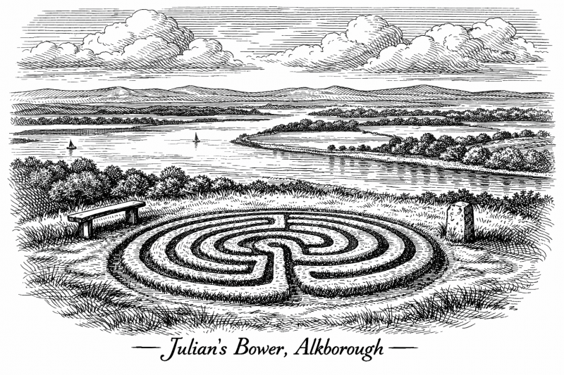
This alternative route makes for a shorter day and travels directly north following the line of the River Trent, through Flixborough, Burton on Stather to Alkborough and Julian’s Bower. If you want to complete the trail in 7 days you could continue with the Day 7 route, a further 9.25 miles to South Ferriby.
DAY 7 (b) – Alkborough to South Ferriby | 9.25-miles
 This concludes the alternative route id you want to take the detour to Alkborough and Julian’s Bower, as it makes its way to South Ferriby along the banks of the River Humber, to pass the Roman settlement at Eastfield, to finish in South Ferriby and the 14th century church of St Nicholas.
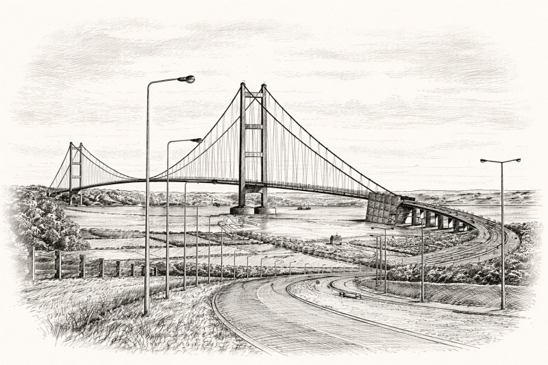
DAY 7 or 8 – South Ferriby to Hull | 12.12-miles

The final stretch of the route crosses the Humber Bridge from Barton on Humber to Hessle, then travels along the northern bank of the Humber along the Trans-Pennine Trail, the Yorkshire Wolds Way and the Charles III England Coast Path before reaching the heart of Kingston upon Hull, to fittingly end on a stretch of the Wilberforce Way that leads to Wilberforce House.
If you would like to help us plan and test the route please explore our Walker’s Brief and get in touch with manager@epwortholdrectory.org.uk